Photographing Mount Buller, Victoria
About Mount Buller
Mount Buller rises to about 1,805 metres in Victoria's High Country, above the Delatite Valley and the alpine village on its eastern slopes. It is best known as a winter resort, but photographically it is a year-round mountain: snow and skiing in winter; wildflowers, weathered snow gums and long walking views in the green season; and rapidly changing cloud, fog and light in every month.
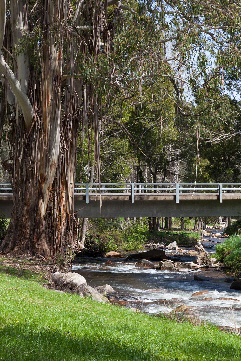
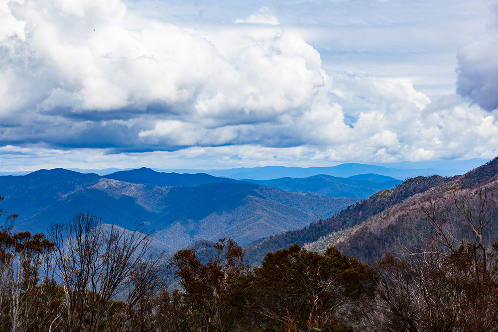
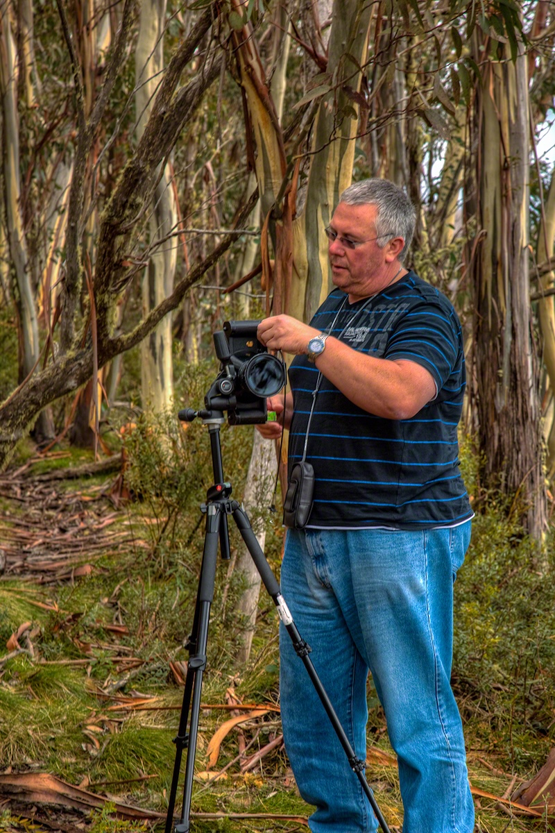
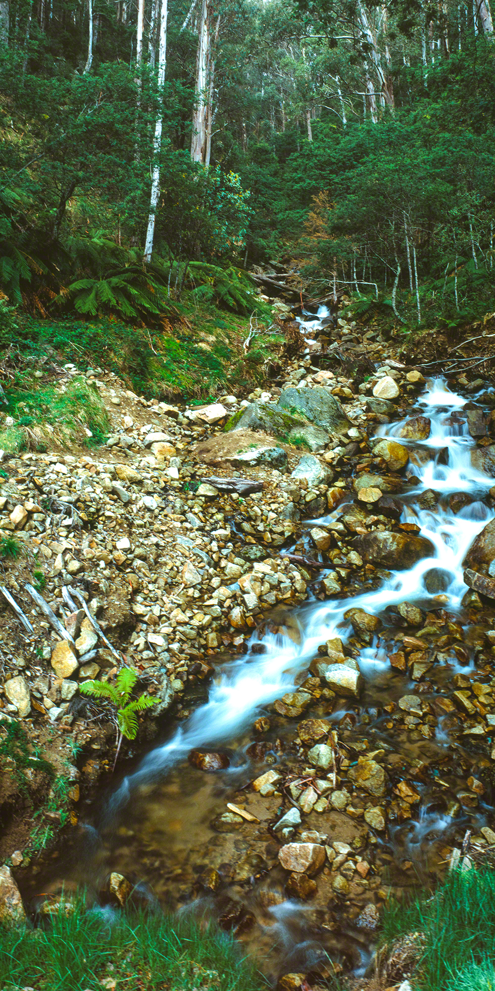
The mountain offers an unusually broad subject mix in a compact area. The summit provides layered ranges and big skies; Bourke Street and the lift network give graphic lines and human scale; the village combines alpine architecture with activity; and the lower trails descend through forest to the Delatite River and Mirimbah.
This is Taungurung Country. Photograph fragile alpine vegetation from formed tracks, obey closures and keep wildlife and other visitors undisturbed.
Viewpoints
Mount Buller summit and fire hut
The essential viewpoint. The exposed summit gives a near-360-degree reading of the mountain, with the fire hut, granite, snow gums and distant ridges providing foreground and scale. Late light is often strongest, but wind and cloud can arrive quickly.
Best for: layered ranges, sunset, weather, winter ice and environmental portraits. Lenses: 16–35mm and 70–200mm.
Summit Nature Walk and northern slopes
The contouring route between the village and summit opens quieter compositions across Burnt Hut, Northside and the ranges beyond. Use the walking trail map and check its live status before setting out.
Best for: snow gums, trail curves, backlit vegetation and intimate mountain landscapes.
Village Square and Clock Tower
The resort's social centre works best as documentary photography: arrivals, changing weather, skiers, bicycles, architecture and evening lights. In snow, look for colour against a restrained white and grey palette.
Best for: people in place, blue hour, snowfall and graphic detail. Lenses: 24–70mm and 70–200mm.
Bourke Street and lift lines
The broad ski run above the village supplies converging lines, repeated lift towers and tiny figures against the slope. A telephoto compresses skiers and infrastructure; a wider lens tells the whole resort story.
Best for: action, patterns, groomed snow, lift silhouettes and night operations where permitted.
Village Lookout and eastern outlook
Near the village, elevated outlooks reveal roofs dropping away to the Delatite Valley. Fog pooling below the resort and first light on distant ridges can be especially effective.
Best for: village context, dawn mist, storm clearing and telephoto layers.
Little Mount Buller
The secondary summit and connecting ski runs provide a less urban view back toward Mount Buller. The walk is more committing than the village viewpoints and should only be attempted when its route is open and conditions are suitable.
Best for: the main summit in context, rocky foregrounds and isolated alpine country.
Snow-gum and alpine vegetation details
Twisted trunks, ribbon bark, lichen, ice and recovering vegetation reward slower observation. In spring and summer, photograph wildflowers without leaving the formed surface or moving plants.
Best for: abstracts, detail studies, fog and soft overcast light.
Klingsporn Bridle Track
This steep historic route links the summit area with Mirimbah through forest and boulder country. It is an advanced, one-way photographic walk unless return transport is arranged; do not underestimate ascent, descent or the need for daylight.
Best for: forest, boulders, changing elevation and a visual journey from alpine to valley vegetation.
Delatite River Trail and Mirimbah Park
At the base of the mountain, the Delatite offers moving water, bridges, ferns, river stones and tall forest. The trail has different walking and cycling uses and statuses, so confirm the relevant listing.
Best for: long exposures, autumn colour, wet forest and environmental detail.
Roadside mountain transitions
The ascent from Mirimbah passes through changing forest and weather before reaching the resort. Stop only in lawful, fully off-road places; never use a traffic lane or snow-chain fitting bay as a photographic pull-off.
Best for: fog bands, snow line, forest texture and the mountain journey.
Other Things to Look Out For
Other things to look out for
- Rime ice on signs, lift towers and snow-gum branches.
- Fog breaking across the summit rather than a completely clear sky.
- Wombats, wallabies, echidnas and alpine birds—use a long lens and never feed or crowd wildlife.
- Mountain-bike riders and trail runners in the green season; obtain consent for identifiable portraits.
- Lift machinery, trail markers, ski racks and boot prints as graphic details.
- Controlled pools of warm window light during blue hour.
- Cloud shadows moving across Mount Stirling and the Delatite Valley.
Nearby Locations
Nearby photographic locations
- Mount Stirling summit: a less-developed alpine landscape with snow gums and broad views back to Mount Buller.
- Craig's Hut: an iconic reconstructed cattleman's-style hut in the Clear Hills; access is seasonal and final-road suitability must be checked.
- Howqua Gap: tall forest, a historic hut and a useful transition between Buller and Stirling.
- Merrijig: pastoral valley, Delatite River and long views toward the mountains.
- Mansfield: heritage streets, services and a practical base for wider High Country work.
- Bindaree Falls: a forest waterfall reached via High Country roads whose condition and seasonal status require checking.
Location
Mount Buller Alpine Resort, Victoria 3723
The mapped destination is Village Square, the practical centre for visitor information and access to the summit area.
Approximate coordinates: -37.1464, 146.4478
The true summit lies roughly 2 kilometres west of the village. GPS points on this page identify photographic objectives, not guaranteed parking, open roads or safe access.
Apple Map – Photographic Locations
This Apple Map shows the principal Mount Buller photographic subjects followed by nearby High Country locations. Coordinates have been checked against current resort trail mapping and geographic references; markers indicate objectives rather than parking spaces or access guarantees.
Photographic locations
How to Get There
From Melbourne
Travel via the Hume Freeway, Yea and Mansfield, then follow Mount Buller Road through Merrijig to Mirimbah and the resort. Allow about three hours in ordinary conditions, plus stops and any winter entry or transfer procedure.
From Mansfield
Mount Buller is approximately 50 kilometres by road. The final climb from Mirimbah is steep and winding; watch for cyclists, wildlife, ice and changing visibility.
Winter arrival
During the declared snow season, resort entry, parking and transfer arrangements apply. Buy or confirm entry before travel where required, carry approved diamond-pattern wheel chains from Mirimbah and fit them when directed. Hire chains before reaching the mountain.
Mount Buller – how to get here
Driving from the State Capital
The state capital is used as a consistent reference point. Apple Maps calculates the automobile route from central Melbourne to Mount Buller Village; winter controls, traffic and weather may materially change the journey.
State capital to destination
Calculating the driving route with Apple Maps…
Distance and time are estimates and may change with conditions.
Current Access / Conditions
Conditions checked: 21 September 2026.
Mount Buller's live trail pages currently show several summer routes closed, including the Summit Nature Walk, while other walking routes may remain open. Status can change after snow, wind, maintenance or fire danger. Check the specific walking, cycling and running listing on the day.
During the declared snow season all vehicles visiting Mount Buller or Mount Stirling must carry correctly fitting diamond-pattern wheel chains from Mirimbah and fit them when directed. Resort entry and designated parking arrangements apply.
Outside winter, do not assume every summit, Mount Stirling or Circuit Road route is open to vehicles. Seasonal road closures generally operate through the colder months and can be extended.
Best Time to Visit
Winter: snow and resort activity
June to September can provide snow-covered landscapes, skiing, rime ice and snowfall. It also brings the greatest access controls, crowds and weather risk. Midweek and the edges of the day are calmer, but pedestrian and ski-area rules still apply.
Spring and early summer: snow gums and renewal
Melting snow, saturated colour, wildflowers and unsettled weather can be excellent. Stay on formed tracks because alpine soils are fragile and wet.
Summer: walking, sunsets and night sky
Long days allow a summit-to-valley sequence. Clear evenings suit sunset and stars, while afternoon thunderstorms, high UV and bushfire danger require conservative planning.
Autumn: quiet mountain light
The resort is often quieter and low-angle light brings texture to grass, rock and bark. Cold fronts can still produce fog, frost or early snow.
Best light: summit dawn and sunset; village blue hour; forest in overcast or immediately after rain. The summit is exposed—if wind, lightning, ice or visibility deteriorates, retreat.
Accessibility
Access and mobility
Village Square and surfaced village roads provide the easiest photographic access, subject to snow, gradients and winter transport controls. The summit is reached by a steep walk from the summit car-park area when the road and route are open; conditions are not uniformly accessible.
Klingsporn, Little Mount Buller and longer trails require fitness, navigation, suitable footwear and adequate daylight. Klingsporn finishes far below the village, so arrange transport before committing.
Safety
- Carry warm, waterproof layers in every season; apparent temperature can fall rapidly.
- Take water, food, sun protection, first aid, offline mapping and a charged phone.
- Keep clear of operating lifts, machinery, groomers, mountain-bike trails and closed ski runs.
- Do not fly a drone without confirming current resort, Parks Victoria and aviation requirements.
- Tell someone your route when leaving the village network.
Where to Stay
Staying in the Mount Buller village is the most efficient option for summit sunset, blue hour, snowfall and an early start without repeating the mountain road. Hotels, apartments and club lodges operate seasonally; availability and services vary sharply between winter and the green season.
Merrijig offers quieter valley accommodation with mountain views and easier access to Mirimbah. Mansfield has the widest choice of food, fuel and accommodation and works well for a broader High Country itinerary, but adds roughly an hour of mountain driving for dawn or late-evening work.
Book well ahead in snow season and verify check-in, parking and luggage-transfer arrangements before arrival.
Photography Recommendations
Photography recommendations
- Build compositions around a strong alpine foreground—granite, snow gum, trail curve or rime-covered structure—rather than relying on distant blue ridges alone.
- Use a telephoto to isolate successive range layers and people against weather; haze is often an asset.
- Expose snow from the histogram, not the camera preview, and protect highlights while retaining texture.
- In active ski areas, choose a safe fixed position and let subjects enter the frame; never step into a run for a composition.
- For moving water on the Delatite, begin around 1/4 to 1 second and adjust to retain detail.
- At night, include a recognisable mountain anchor and shield nearby visitors from stray torch light.
Suggested photographic sequence
- Pre-dawn: eastern village outlook for valley lights, mist and colour.
- Early morning: Village Square and Bourke Street before the busiest period.
- Mid-morning: snow gums, architecture and lift details; in winter, action photography as activity builds.
- Afternoon: use open walking trails or descend to Mirimbah for the Delatite River and forest.
- Golden hour: return to the summit only if access and weather are secure.
- Blue hour/night: village lights, summit silhouettes or stars, then leave the exposed summit before conditions become unsafe.
How long should a photographer stay?
One full day can cover the village, summit and Mirimbah in stable green-season conditions. Two nights is the practical minimum for a serious visit because it provides both dawn and sunset and allows for one period of cloud or wind. Three to four nights is justified in winter, when access, snowfall and visibility are unpredictable, or when combining Mount Buller with Mount Stirling and Craig's Hut.
My priority photographs
- Last light crossing the summit fire hut, granite and layered High Country ridges.
- Snow gums emerging from fog or carrying fresh snow and rime.
- A compressed view of skiers and lift towers on Bourke Street that shows scale.
- Village Square in falling snow or balanced blue-hour light.
- Mount Buller seen from Mount Stirling or Craig's Hut as an environmental portrait of the resort mountain.
- The Delatite River flowing through wet forest at Mirimbah.
Mount Buller gallery
Summit weather, snow gums, village life, skiing, alpine details and Delatite River photographs will be added here.