Photographing Red Hill Lookout
About Red Hill Lookout
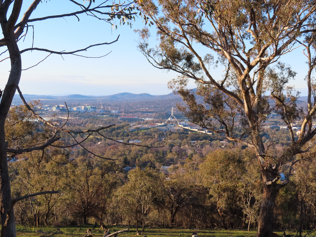
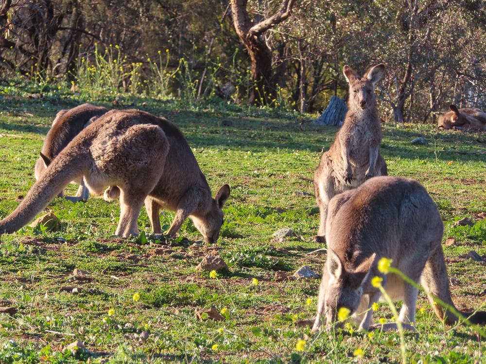
Red Hill Lookout gives a southern perspective across Canberra, with strong alignments toward Parliament House and the city and frequent opportunities to observe kangaroos in the surrounding reserve.
This is Ngunnawal and Ngambri Country. The strongest coverage combines a defining view with medium studies and details that explain the geology, ecology, architecture or cultural setting.
Viewpoints
Red Hill lookout
City panorama and Parliament House. Start with the defining environmental view, then vary height and focal length.
Useful lenses: 16–35mm and 24–70mm.
Red Hill summit walk
Woodland and changing viewpoints. Use this stop to add context or a contrasting visual rhythm.
Useful lenses: 24–70mm and 70–200mm.
Davidson trig area
Ridge landscape. Use this stop to add context or a contrasting visual rhythm.
Useful lenses: 16–35mm and 24–70mm.
Parliament House
Telephoto city anchor. Use this stop to add context or a contrasting visual rhythm.
Useful lenses: 24–70mm and 70–200mm.
Mount Ainslie lookout
Northern axis panorama. Use this stop to add context or a contrasting visual rhythm.
Useful lenses: 16–35mm and 24–70mm.
Other Things to Look Out For
- Directional light, cloud, mist and changing weather
- Characteristic textures and small details
- Wildlife observed quietly with a long lens
- Human scale where it strengthens the story without compromising privacy
Nearby Locations
Location
Red Hill Lookout, Canberra Nature Park, Australian Capital Territory
Approximate photographic centre: -35.32409, 149.11382
Map markers identify photographic objectives, not guaranteed parking places or permission to leave formed public access.
Apple Map – Photographic Locations
The Apple Map identifies the main photographic objectives and selected nearby viewpoints. Confirm signage, land status and current access on arrival.
Photographic locations
How to Get There
From Canberra, use the Apple Maps route for initial planning, then verify the final road, parking and walking approach with the responsible park, council or site operator. Allow extra time for unsealed roads, congestion and photographic stops.
Driving from the State Capital
The state capital is used as a consistent reference point. Apple Maps provides route planning from central Canberra to Red Hill Lookout; verify the final approach and current conditions.
State capital to destination
Calculating the driving route with Apple Maps…
Distance and travel time are Apple Maps estimates and may change with the route and current conditions.
Current Access / Conditions
Conditions checked: 22 September 2026.
Check current park, council, weather and emergency alerts immediately before travel. Closures and changed conditions take precedence over this guide.
Obey every closure, barrier and on-site instruction. Carry water, offline navigation and clothing suitable for changing conditions.
Best Time to Visit
Dawn and late afternoon usually provide the most dimensional light; overcast weather can be preferable for forest, waterfalls and architectural detail. Recheck sunrise direction, weather, tide or water flow for the exact date.
Accessibility
Expect conditions ranging from accessible paved areas to uneven natural tracks. Wear suitable footwear, keep clear of edges and moving water, and do not rely on mobile reception.
Where to Stay
Stay in the nearest service centre or approved on-site accommodation where available. A local base makes dawn and twilight sessions safer and leaves time to return in different conditions.
Photography Recommendations
Photography recommendations
- Use Red Hill for layered views across Canberra, selecting landmark groupings rather than relying only on a very wide panorama.
- A telephoto is especially useful for Parliament House, Lake Burley Griffin, Civic and distant hills.
- Foreground eucalypts can provide framing, but move slightly to avoid branches cutting through key landmarks.
- Late afternoon and blue hour can separate city lights from the remaining sky where access permits.
Suggested Photographic Sequence
- Begin with a broad panorama to establish the geography.
- Identify two or three telephoto compositions of major landmarks.
- Try framed views using nearby vegetation.
- Return to the cleanest city composition for sunset/blue hour if staying late.
How Long Should a Photographer Stay?
Allow 1–2 hours; 2–3 hours if covering the transition from daylight through blue hour.
My Priority Photographs
- A defining environmental portrait of Red Hill Lookout
- A tighter image of the location’s characteristic structure or texture
- A composition that communicates scale
- A second image made in distinctly different light or weather